A phone is more than just technology. It’s minerals, too.
Minerals are essential to the devices we use, the infrastructure we depend on and industries across the country. Getting those materials from the ground to the products we use, however, involves complex global supply
What lies beneath Crater Lake’s deep blue waters?
The caldera of an ancient volcano! This USGS geologic map reveals clues to Mount Mazama’s dramatic volcanic past, including the geology of the lake floor.
Mount Mazama began erupting about 420,000 years ago, building a massive
Behind every wildlife refuge is a story of science.
This National Wildlife Refuge Week, we’re celebrating how USGS science helps our U.S. Fish and Wildlife Service partners understand the needs of wildlife and the habitats they depend on.
📷 1: National Elk Refuge, Wyoming:
Coral reef or satellite image? 🪸🛰️
If you guessed satellite image, you’re right!
This colorful view of the Lena River Delta in Russia is part of our Earth As Art collection, created using @NASA and @USGSLandsat satellite data.
The Lena River, at 2,800 miles long, is one of
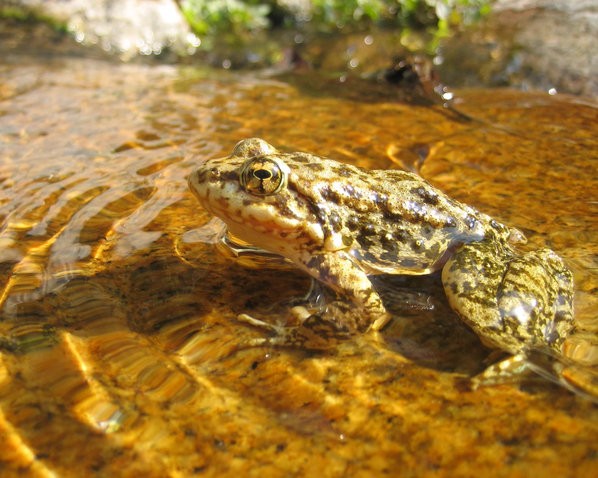
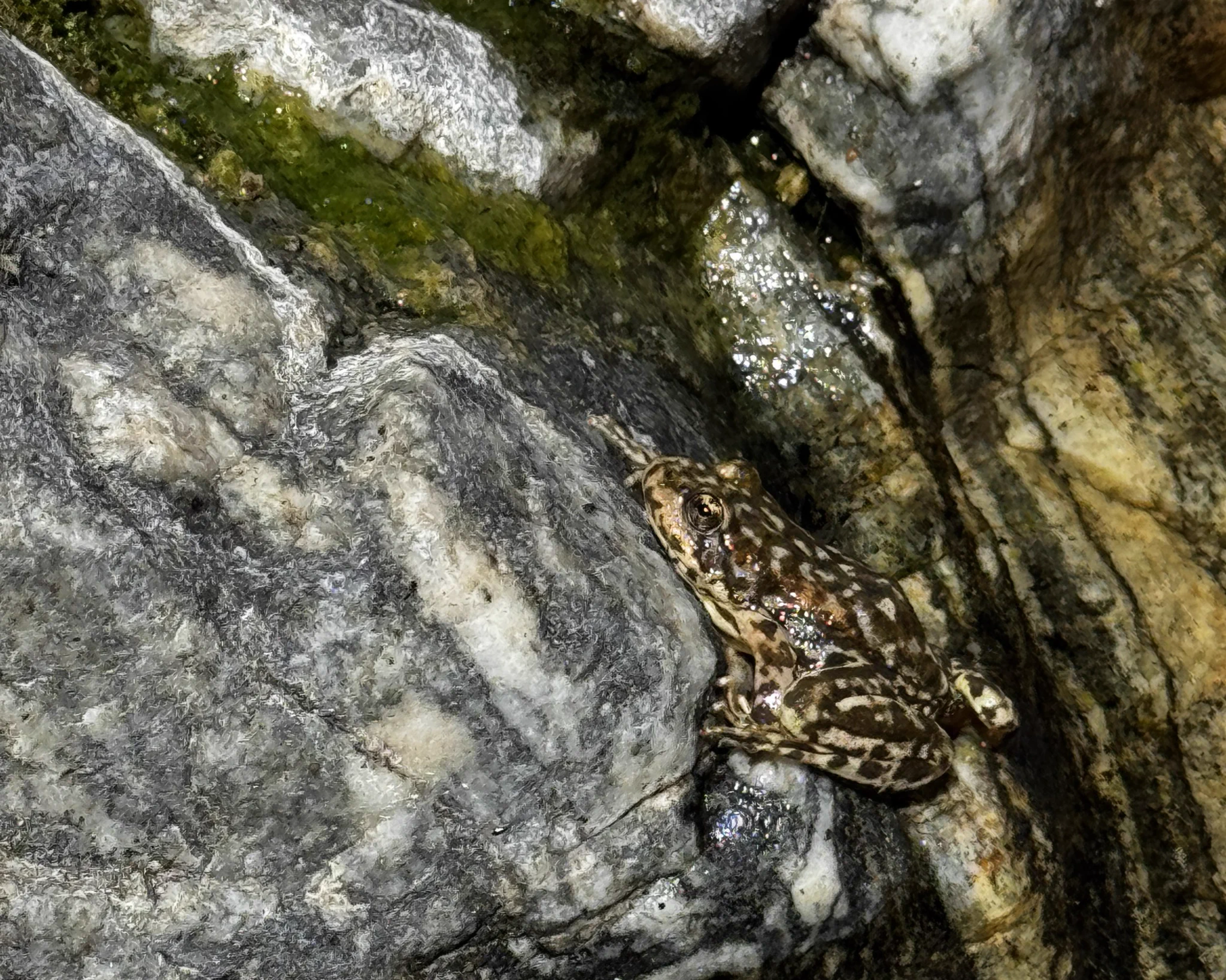
🐸 653 frogs. One big step for a species fighting its way back.
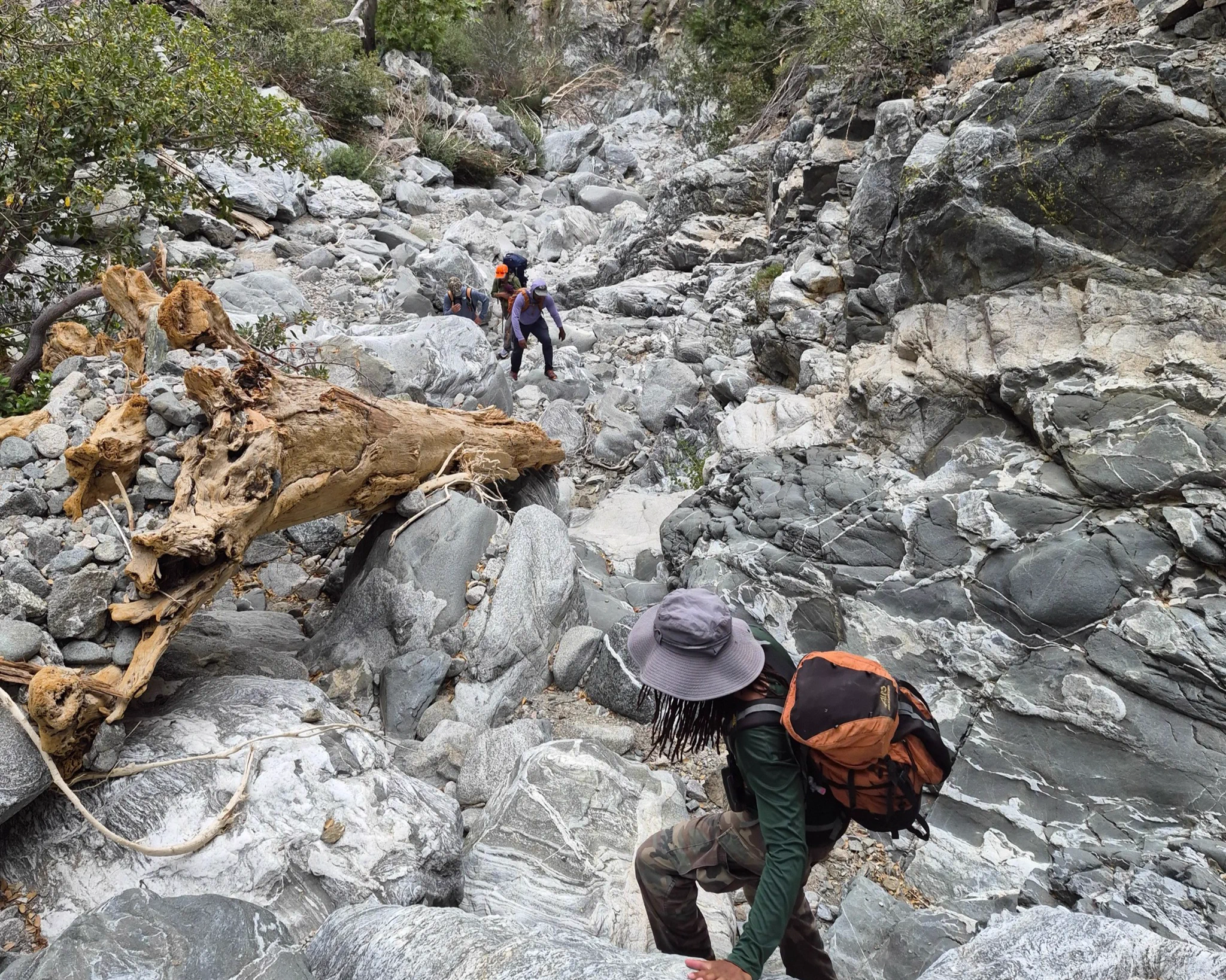
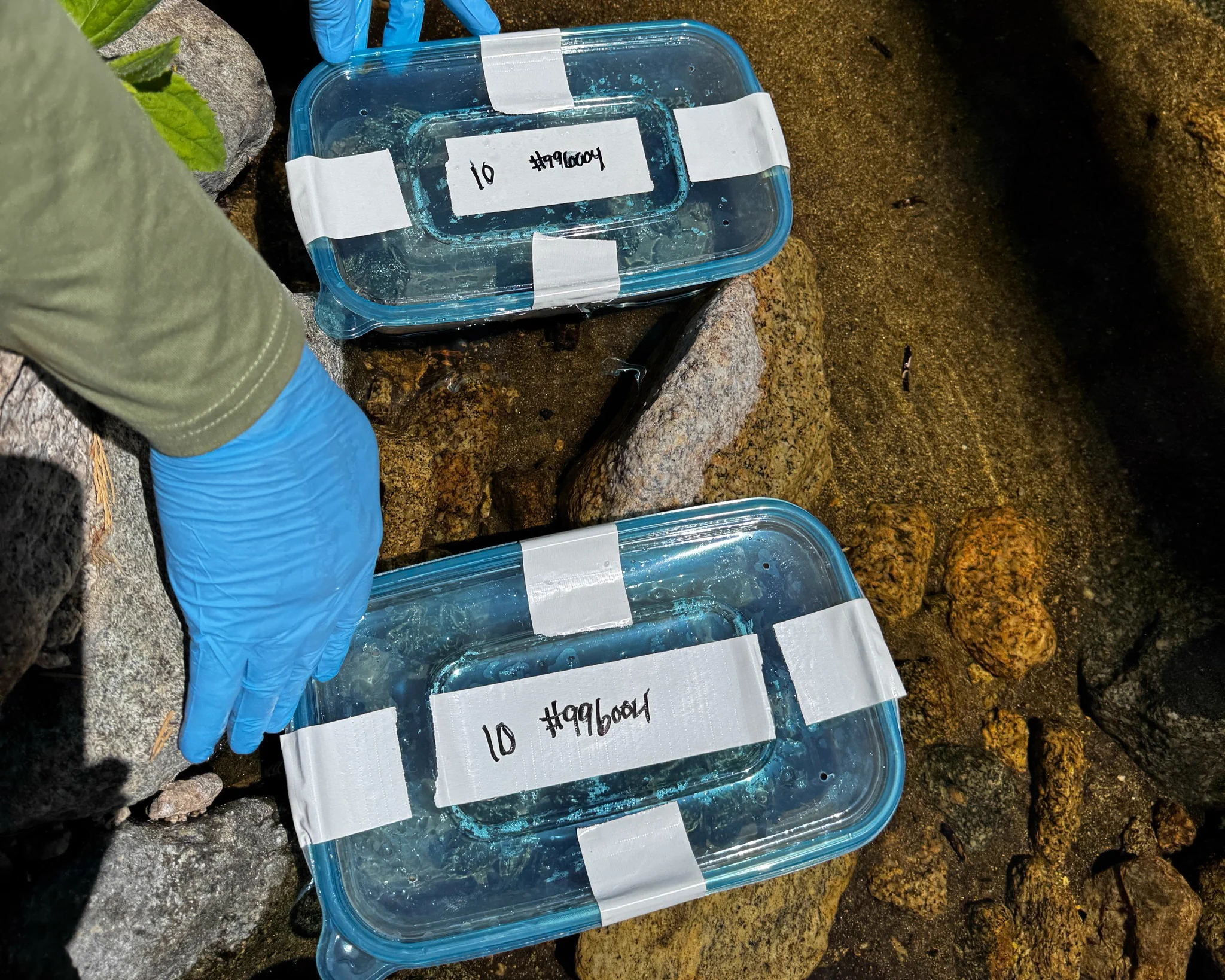
This summer, USGS scientists and partners released 653 critically endangered southern mountain yellow-legged frogs into their native habitat in Southern California, the largest release of the species to date.
These